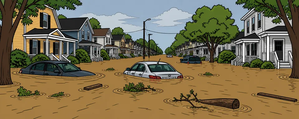
Flash and river flooding clip more counties than any other hazard. Know your crossings and your alternates.
Concrete moves that lower your Vulnerability. Add any of them and we'll track it as an action on your threat list.
 Reality-Check
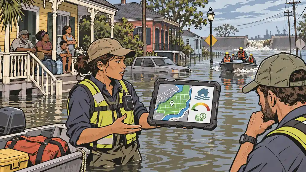
The National Risk Index is the most-cited free hazard tool in the country — baked into relocation sites, planning decisions, and 'is this town safe' searches. For flooding in the parish that Katrina drowned, it reads near the safest possible. The number isn't a glitch. It's the whole method showing through.
 Deep Dive
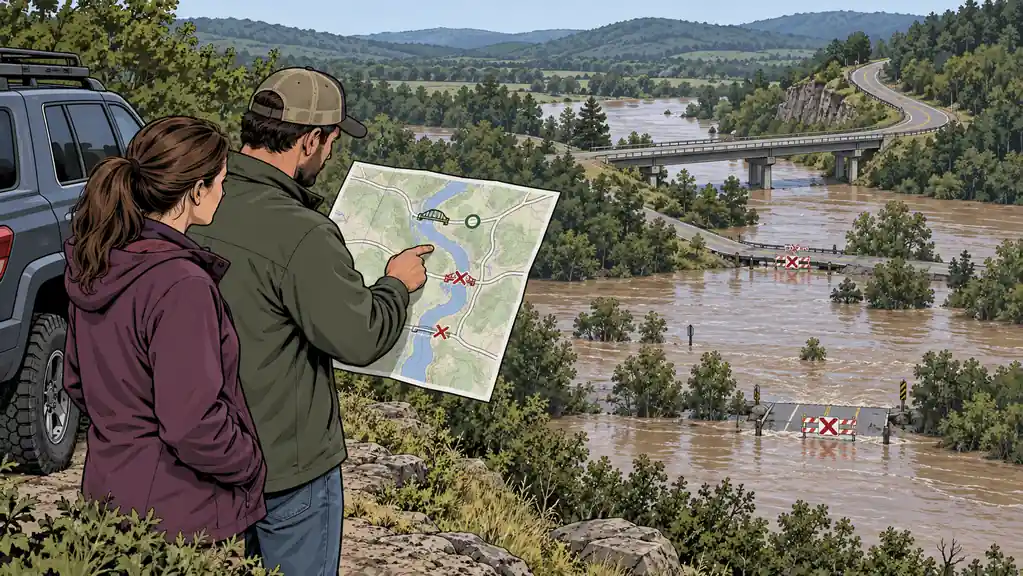
Flooding hits more counties than any other hazard. Doing it well means knowing how deep water floats a car, how much warning you'll get, and exactly which roads between you and high ground go under first.
Share of each county’s population inside the 100-year floodplain — people, not dollars.
A national view — this is one of 420+ layers in Area Recon. Open it to zoom to your address, then add the hazards, infrastructure, terrain and resources around you, and read the real numbers for your county.
Explore in Area Recon →Add it to your personal threat list, score it for your own household, or pull the real hazard data for your county.